Inland Empire County Seat
Welcome to San Bernardino, the Inland Empire county seat at the foot of the San Bernardino Mountains, where a storied Route 66 legacy meets a major logistics-driven economy.
San Bernardino sits at the foot of the San Bernardino Mountains, roughly 60 miles east of downtown Los Angeles, and serves as the county seat of San Bernardino County—one of the largest counties by area in the United States. As one of the older communities in Southern California, it traces its modern origins to a Mormon settlement established in 1851, following Spanish and Mexican-era ranching and mission activity in the region. The city grew through the citrus era and the arrival of the railroads, becoming a commercial hub for the surrounding valleys. Route 66 helped define San Bernardino's mid-century character, carrying travelers and Dust Bowl migrants through the city and fostering the roadside businesses that still shape its commercial corridors. The city's stretch of the historic highway is tied to fast-food history: the Taco Bell chain traces its inspiration to hard-shell tacos served at the local Mitla Cafe. That roadside legacy persists alongside a large modern logistics economy, anchored by a BNSF rail yard and extensive warehouse and distribution operations that take advantage of the city's position on major freeways. Healthcare and public administration add further stability to the employment base, with the county government, courts, and medical centers among the largest institutional employers. San Bernardino combines an urban, ethnically diverse core with residential neighborhoods climbing toward the foothills, where mountain views become more prominent. California State University, San Bernardino brings students and faculty to the north side of the city, while San Bernardino Valley College serves the community college population. The mountain communities of Lake Arrowhead and Big Bear Lake lie within an hour's drive, making outdoor recreation a defining part of daily life for many residents. The city's blend of affordability, regional freeway access, and proximity to the mountains makes it a practical base for commuters and families across the Inland Empire.
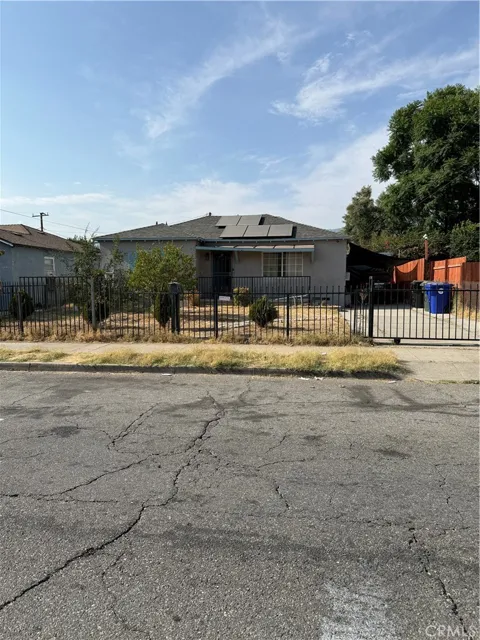
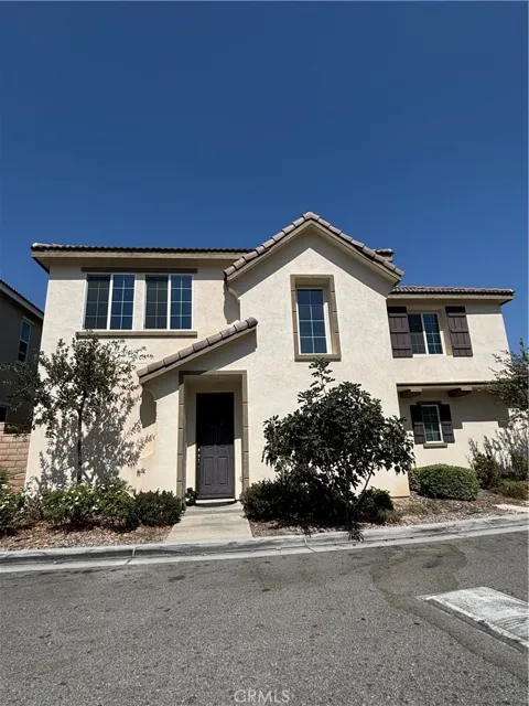
San Bernardino is the county seat of San Bernardino County, California, the largest county by area in the contiguous United States. The county stretches from the greater Los Angeles area east to the Nevada and Arizona borders. The city of San Bernardino itself is one of the county's largest municipalities and the largest in the Inland Empire region.
San Bernardino lies roughly 60 miles east of downtown Los Angeles. By car, the drive generally takes a little over an hour depending on traffic, via Interstate 10 or State Route 210. Metrolink's San Bernardino Line also provides commuter rail service between downtown San Bernardino and Los Angeles Union Station.
Most of San Bernardino is served by San Bernardino City Unified School District, which enrolls approximately 45,000 students across about 76 schools. The district also serves western Highland, the unincorporated community of Muscoy, and a small portion of Rialto. California State University, San Bernardino and San Bernardino Valley College provide higher education options within the city.
San Bernardino is known for its location at the foot of the San Bernardino Mountains, its role as the Inland Empire's county seat, and its place on historic Route 66. The city has a notable fast-food connection: the Taco Bell chain traces its inspiration to hard-shell tacos served at San Bernardino's Mitla Cafe. It is also a major logistics and distribution hub anchored by a large BNSF rail yard.
Yes. San Bernardino sits directly at the base of the San Bernardino Mountains, so the San Bernardino National Forest begins just north of the city. Lake Arrowhead and Big Bear Lake, the region's major mountain resort communities, are both reachable in about an hour or less by car, offering boating, hiking, skiing, and other outdoor recreation.
City Guide
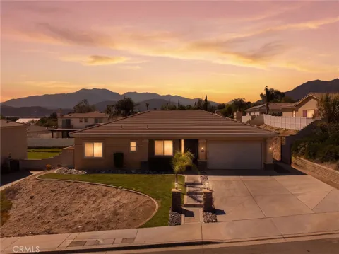
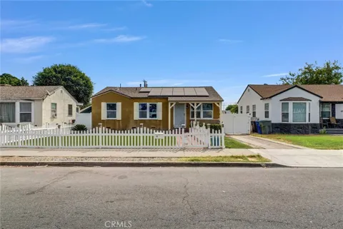
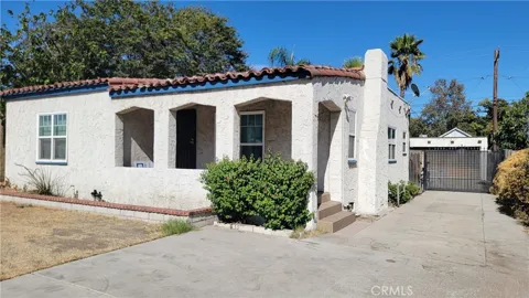
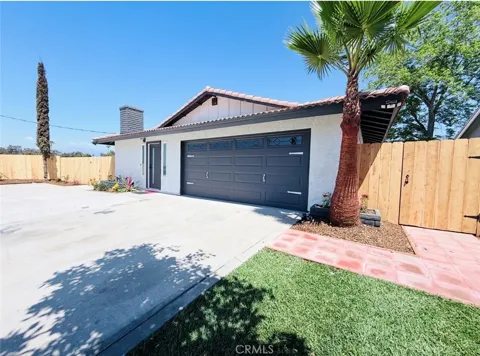
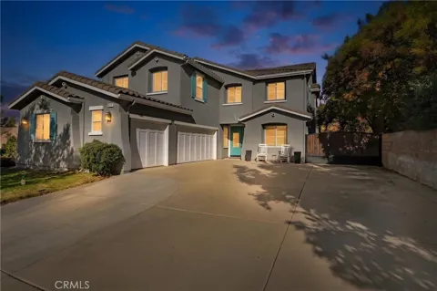
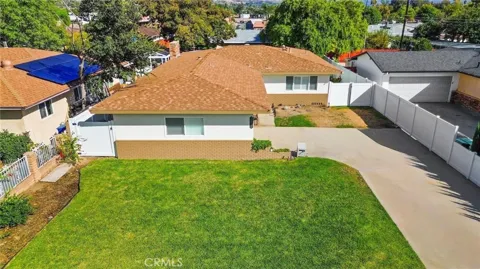
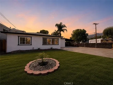
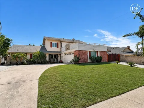
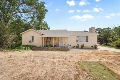
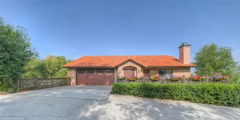
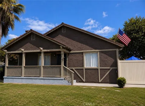
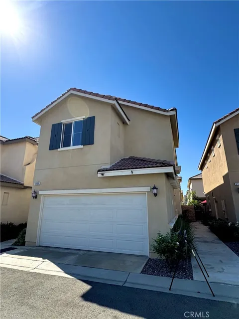
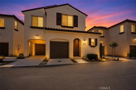
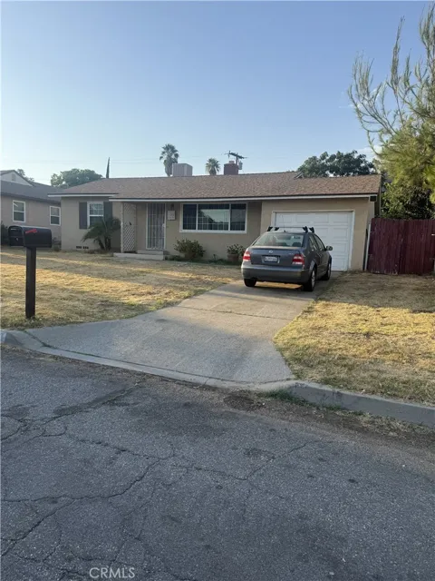
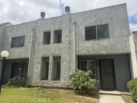
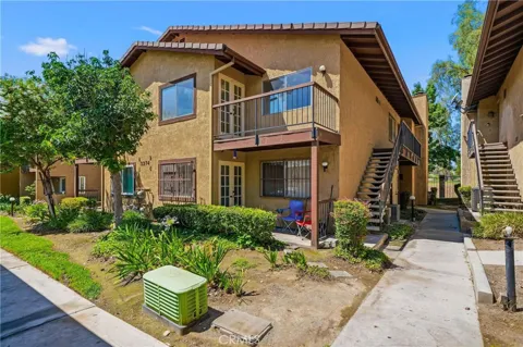
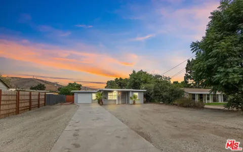
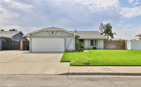
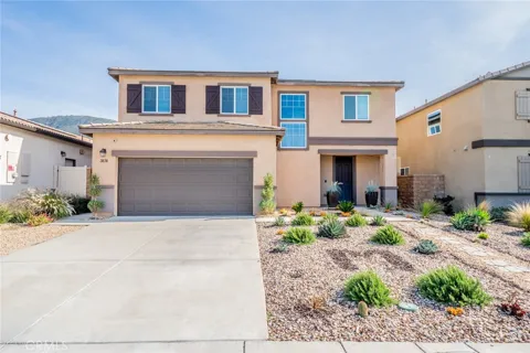
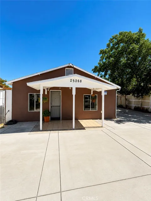
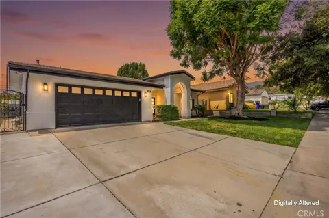
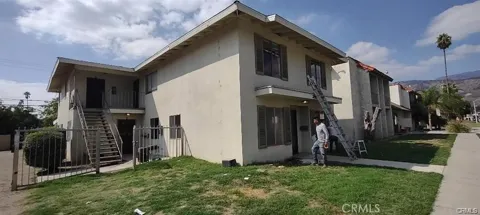
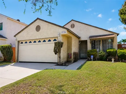
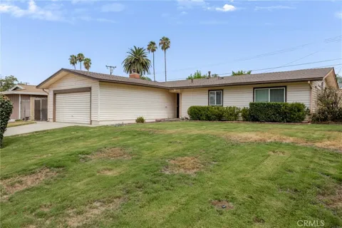
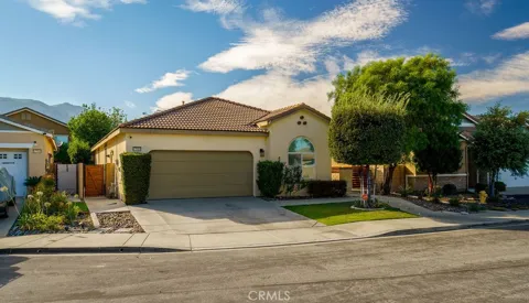
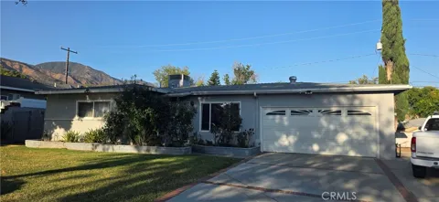
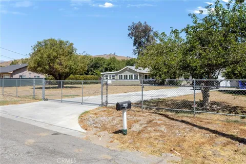
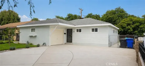
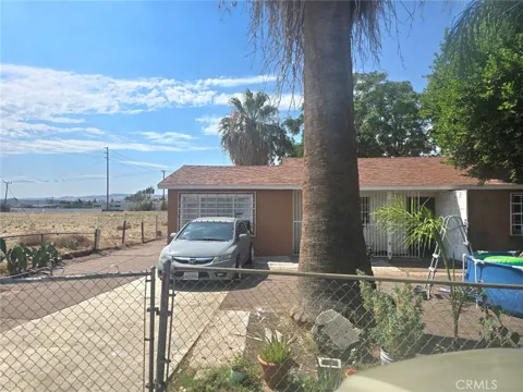
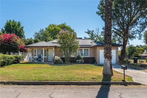
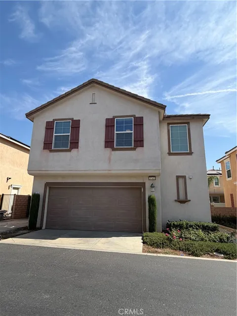
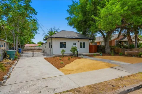
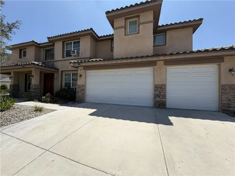
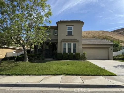
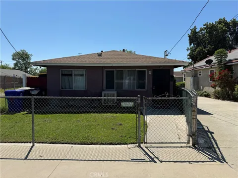
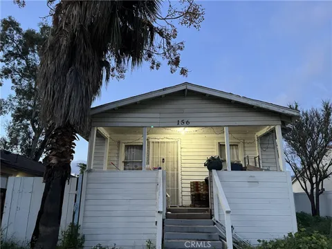
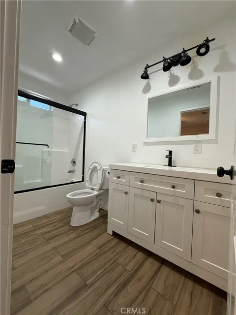
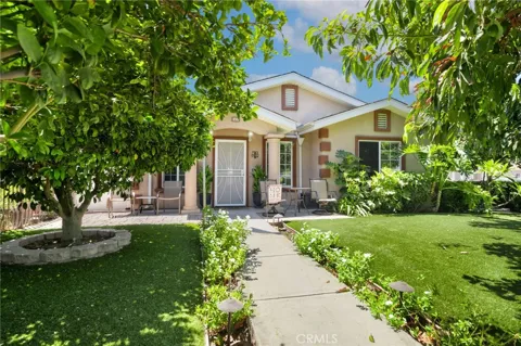
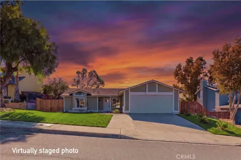
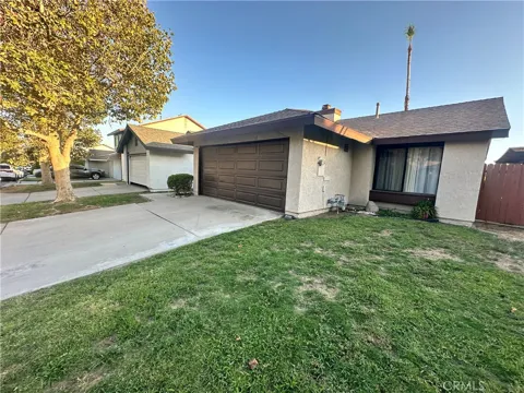
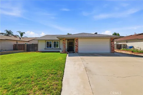
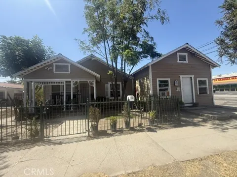
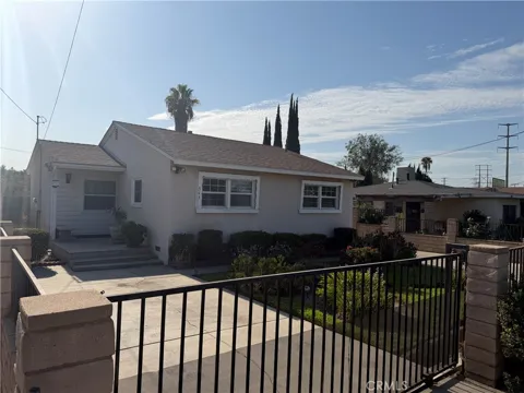
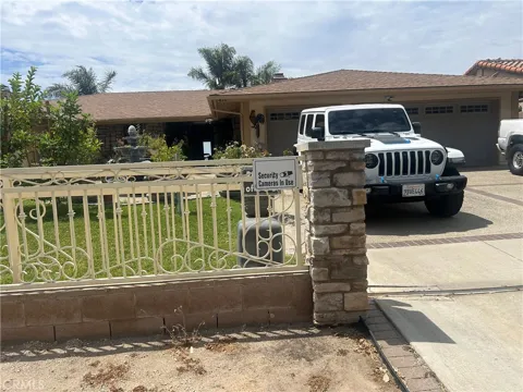
San Bernardino's housing stock reflects its long history and its position as one of the more affordable large cities in Southern California's Inland Empire. The city's older neighborhoods include Craftsman bungalows, Spanish Colonial Revival homes, and early ranch-style houses, many built during the first half of the 20th century. Mid-century modern and ranch homes dominate the post-war subdivisions that spread outward as the city grew, while foothill areas such as Shandin Hills offer single-family homes and duplexes with mountain views. Buyers encounter a range of lot sizes and eras, from compact urban parcels near the downtown core to larger hillside properties in the northern reaches of the city.
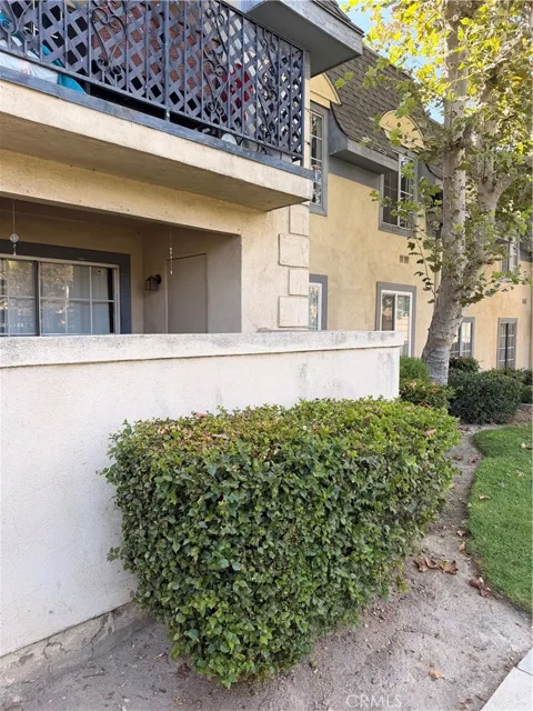
San Bernardino's neighborhoods span a broad cross-section of the city. Shandin Hills, on the north side, is a scenic foothill area with ranch and mid-century modern homes and views of the mountains. North Verdemont sits near the base of the foothills and California State University, San Bernardino, with a mix of newer and established housing. Del Rosa is an older, tree-lined neighborhood known for mid-century architecture and neighborhood parks. San Gorgonio, farther east, features a blend of apartments, townhouses, and single-family homes in Craftsman and Spanish Colonial styles. The Hospitality Lane corridor serves as a commercial district of shopping centers and hotels, reflecting the city's role as a travel hub.
San Bernardino's culture draws on its deep Inland Empire roots. Downtown retains historic buildings and a civic core built around the county government and courts, while the Route 66 corridor keeps a nostalgic roadside character of diners, motels, and auto-oriented businesses. The National Orange Show, a long-running agricultural fair, honors the region's citrus heritage, and San Manuel Stadium hosts minor-league baseball. The city is ethnically diverse, with a restaurant scene that reflects its Latino and broader immigrant communities. California State University, San Bernardino adds lectures, performances, and college-town energy to the north side, and the nearby mountains provide a year-round backdrop for festivals and outdoor life.
San Bernardino City Unified School District serves most of the city, along with the western portion of Highland, the unincorporated community of Muscoy, and a small part of Rialto. The district enrolls roughly 45,000 students across about 76 schools, spanning elementary, middle, and high school campuses. For higher education, California State University, San Bernardino occupies a campus on the city's north side and is a significant local institution and employer. San Bernardino Valley College, a community college with a campus just northwest of downtown, provides additional post-secondary pathways and vocational programs for residents across the region.
San Bernardino sits at a convergence of major transportation corridors. Interstates 10 and 215 and State Route 210 intersect in or near the city, linking it to Los Angeles to the west, Riverside to the south, and the high desert via the Cajon Pass to the north. Metrolink's San Bernardino Line runs from downtown San Bernardino to Los Angeles Union Station, providing a commuter rail option through the Inland Empire. The San Bernardino Transit Center anchors local and regional bus service, including Omnitrans routes. San Bernardino International Airport operates from the former Norton Air Force Base site on the city's east side, complementing the larger Ontario International Airport a short drive to the west.
The San Bernardino Mountains define the city's recreational landscape. The San Bernardino National Forest, rising just north of town, offers hundreds of miles of hiking trails, campgrounds, winter recreation resorts, and scenic routes such as the Rim of the World Scenic Byway. The mountain communities of Lake Arrowhead and Big Bear Lake are within roughly an hour's drive for boating, skiing, and alpine escapes. Within the city, Glen Helen Regional Park provides open space, picnic areas, and an amphitheater, and Perris Hill Park anchors neighborhood recreation. The nearby Deep Creek Hot Springs and the forest's seven designated wilderness areas add backcountry options for hikers throughout the year.
MARKET SNAPSHOT
How homes have been selling here over the last 90 days.
Market data reflects closed sales over the last 90 days and is provided for informational purposes.
BROWSE BY ZIP
Browse listings by postal code in this area.